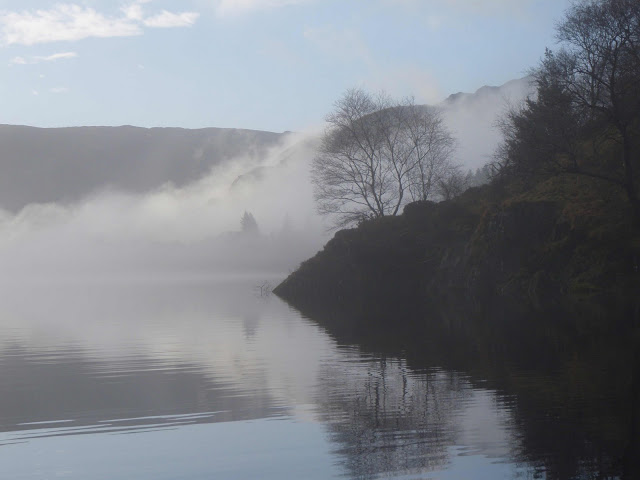
Thirlmere is a reservoir that was created in 1889 by flooding a valley to merge two smaller lakes into one in order to supply drinking water to Manchester. Two villages were "drowned" in the process. I decided to explore the lake by kayak on a mild, calm, February day.
Thirlmere is 3.5 miles long.
I launched some somewhere below the bush in the foreground
and paddled to the far end of the lake, passing the small islands.
For internet picture source click here
I launch at dawn while patchy fog-banks
still enshroud parts of the lake
The fog-banks give a mysterious look to the lake...
...and some ethereal scenes.
A swollen beck pours from the fell into Thirlmere
Reaching the head of Thirlmere
I pull ashore for a snack
before the 3-mile paddle back
After lunch the fog has lifted enough
to reveal the summit of Helvellyn,
England's second highest mountain
By mid-afternoon the fog has gone and
sunshine through the cumulus clouds
illuminates the surrounding mountains
You can read more about Thirlmere here


I love those foggy photos
ReplyDeleteMate we have a Thirlmere lake here too! I love these photos. I find the history facinating too, so I am going to go and read more about it
ReplyDeleteMagnificent photographs. Thanks you for taking the time to share these. I wish I could be there.
ReplyDeleteI love all the foggy photos as well. Very atmospheric. Would be magic to be out kayaking quietly along in it.
ReplyDeleteI was wondering how high that mountain is? It doesn't look much higher than the 'hills' near here...
ReplyDeleteGreat photos, Jim.
ReplyDeleteSome truly fantastic shots here, hon. Sorry to hear about the drowned villages, though.
ReplyDeleteThey are outstanding arty-farty pics Maalie
ReplyDelete